HIKER-8B2
AEREA MorphWing-HIKER-8B2 Man-portable UAV
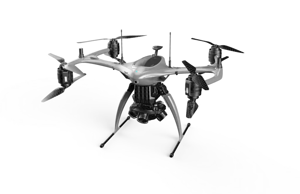
AEREA Hiker-8B2 Long Endurance Surveying UAV
Applicable Payload Type: Survey and Mapping
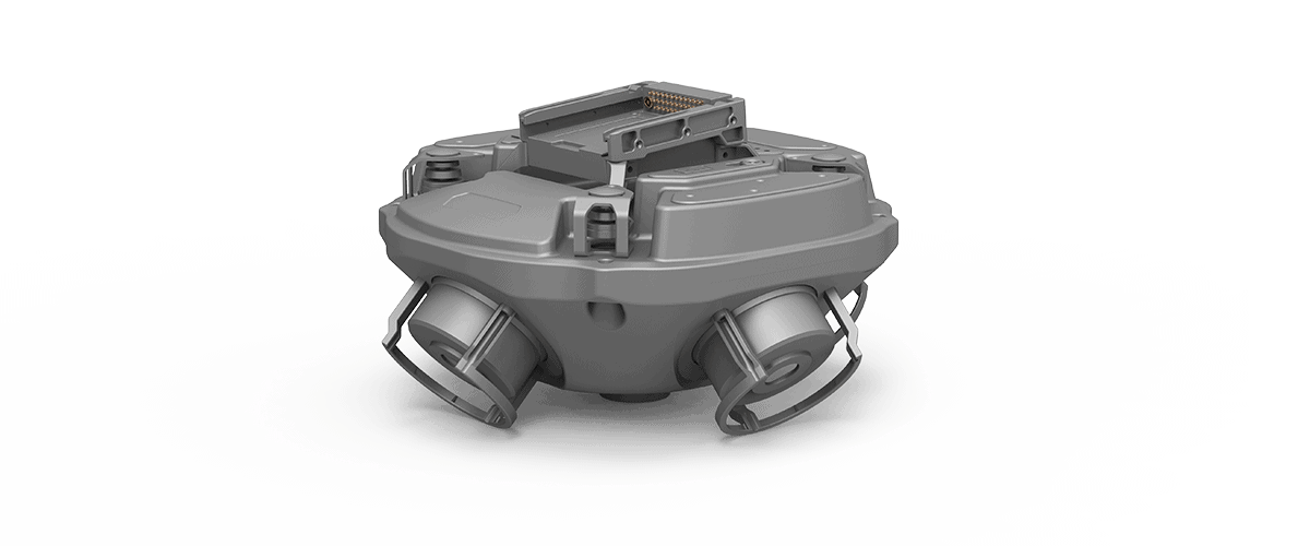
CM-5LOC 5-LENS Tactical Mapping Camera
Supported models: Hammer Series/MorphWing Series/Hiker Series
Product weight: 1.8KG
Product size: 262mm * 262mm * 147mm
Number of CMOS sensors: 5
Tilt angle: 45°
Lens focal length: 35mm fixed focus (equivalent)
ISO sensitivity range: ISO100 – 16000
Image resolution: 6000 × 4000 (3.2)
Total effective pixels: 120 million
| Product Name | AEREA Hiker-8B2 Long Endurance Surveying UAV |
| Product Model | Hiker-8B2 |
| Dimensions (mm including propeller) | 1430*1430*572mm |
| Maximum Takeoff Weight | 17kg |
| Maximum Load Capacity | 3kg |
| Number of Onboard Batteries | 2 in 1 set |
| Maximum Battery Life | 55min |
| Maximum Horizontal Flight Speed | 18m/s |
| Maximum Communication Distance | 10km |
| Wind Loading | Level 6 |
| Positioning Accuracy | Horizontal ± 0.02 meters, vertical ± 0.05 meters |
AEREA Geographic Information Collection UAV Application Product Introduction

The Hiker-8B2 long endurance surveying UAV is designed to provide long endurance operations for surveying. It uses a dual electric 8-rotor structure for flight power and a folding structure for the fuselage. Mount a five lens tilt camera for geographic informa-tion data collection, 3D modeling, and realistic restoration of terrain and landforms. The model supports single machine or cluster operation in various complex terrains
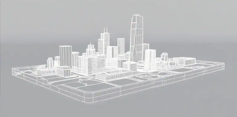
uickly collect three-dimensional spatial information from desig- nated areas, obtain a real three-dimensional sand table, support secondary modeling, measure ground coordinates, length, width, height, and cubic volume, measure channel width and length, measure designated area area, achieve timely deployment, accurately formulate contingency plans, and visualize various deployments